


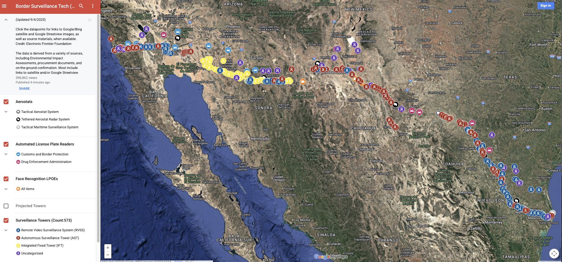
Since 2022, the Electronic Frontier Foundation has been mapping out surveillance at the U.S.-Mexico border to document how this technology harms the civil liberties and human rights of border communities and to make this data, which the government does not release itself, available to journalists, humanitarian groups, and advocates. Our research is based on extensive on-the-ground research, analysis of satellite and streetview imagery, public records requests, open source intelligence, and observations from regional allies. This research is supported by our members and donors. If you agree that mass surveillance is incompatible with a democratic society, please help us continue our work with a recurring donation today.
Launch the border surveillance map. (Google's Privacy Policy applies.)
Download the dataset as an xlsx file.
This dataset includes the locations of Customs & Border Patrol surveillance towers, automated license plate readers, aerostats, and face recognition at land ports of entry. Our work is licensed for use and remixing under a Creative Commons 3.0 Attribution license.
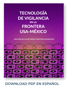
For more information about this project, read the initial blog post, "CBP Is Expanding Its Surveillance Tower Program at the U.S.-Mexico Border–And We're Mapping It." You can learn more about the vast array of technologies in our zine, "Surveillance Technology at the U.S.-Mexico Border," which is free to download, with hard copies available through our online store, along with other items you might like.


EFF's border surveillance technology research is supported by our members and donors. If you agree that mass surveillance is incompatible with a democratic society, please help us continue our work.
Data last updated: Sept. 26, 2026.

